No Products in the Cart
USGS US Topo 7.5 - minute quadrangle map
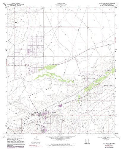
Long Name: Huachuca City, Arizona Historical Map 7.5'x7.5' Grid 24000-Scale 1982
Scale: 1:24,000
Content: Contours
Version Date: 1982
Regions: AZ
Nations: USA
Latitude: 31° 37′ 30″ N to 31° 45′ 0″ N
Longitude: 110° 22′ 30″ W to 110° 15′ 0″ W
Media: Paper
Format: Flat
Description: Huachuca City, AZ
Survey Date: 1958
Photo Revision Date: 1978
Photo Inspection Date: 1982
Print Date: 1991
Height In Inches: 26.700
Width In Inches: 22.000
Boundary Type: Quadrangle
Plates: 1
Pieces: 1
Language: English
 As Seen On TV