No Products in the Cart
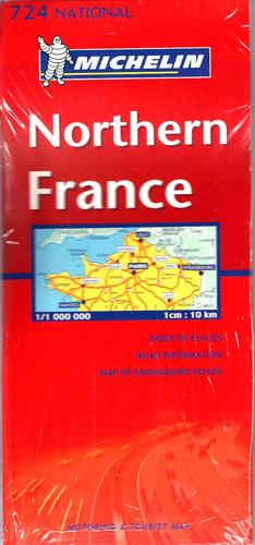
Road maps from the National collection enjoy a detailed scale that has been adapted to each country or region, offering reliable, while clear, mapping to facilitate their travel and orientation. Thanks to both its annual update and the great diversity of information collected in its conventional signs, through easily understandable pictograms, National maps are an essential tool, not only for travel safely, but also, thanks to the tourist information it incorporates, to visit and discover new countries or regions. The updated edition of the National France Half North Map, edited on a scale 1/1 000 000 000, incorporates new contents: an index of localities, frame with distances, travel times, and signage of picturesque tours. It includes conventional signs in English, French, German, and Dutch.
 As Seen On TV