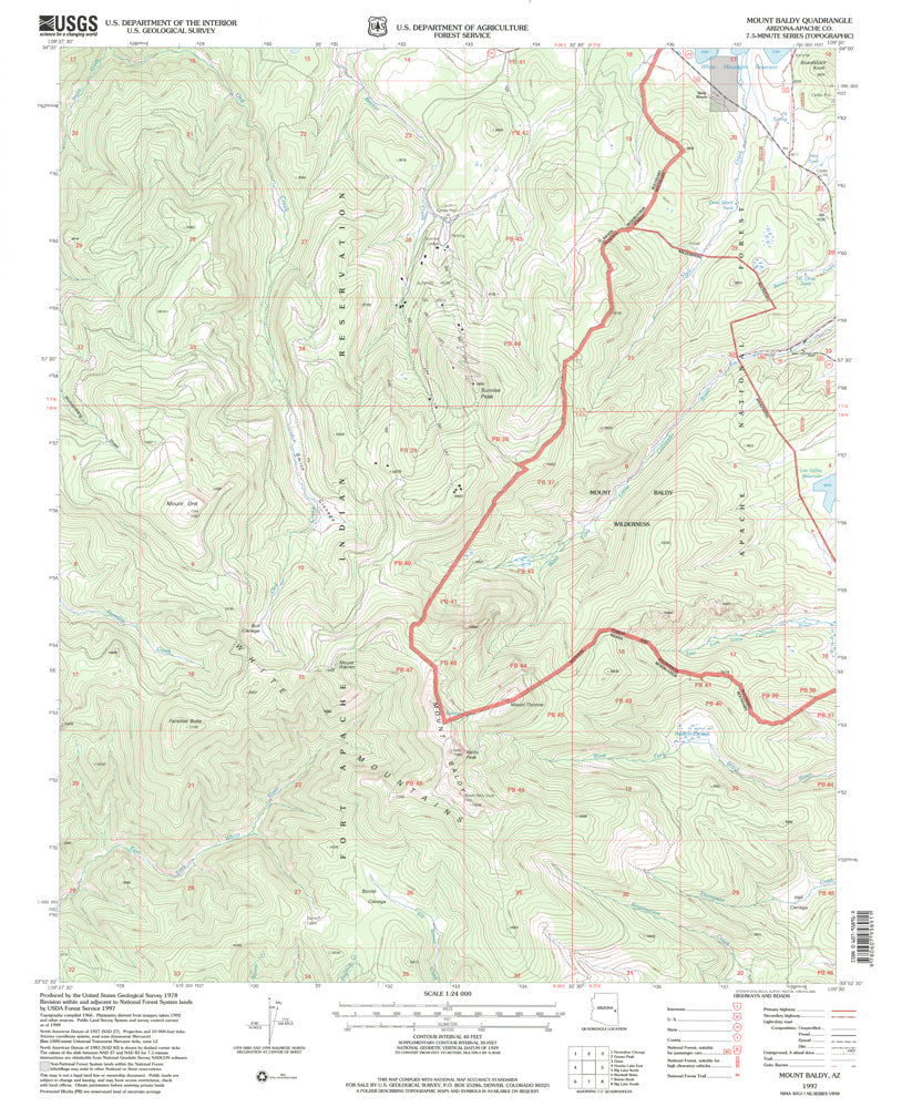
Mt Baldy, AZ 1997 USGS 7.5 - minute topographic quadrangle map
- Product Details
- Product Number: 42360
- Scale: 1:24,000
- Content: Contours
- Alternate ID: TAZ1955
- ISBN: 978-0-607-95891-1
- Version Date: 01/01/1997
- Regions: AZ
- Countries: USA
- Latitude: 34° 0' 0" N to 33° 52' 30" N
- Longitude: 109° 37' 30" W to 109° 30' 0" W
- Media: Paper
- Format: Flat
- Historical Reproduction: Yes
- Additional Details
- Description: United States Geological Survey Mount Baldy, Arizona Historical Map Reprint 7.5×7.5 Grid 24000-Scale 1997
- Survey Date: 1997
- Print Date: 2000
- Height In Inches: 26.900
- Length In Inches: 22.000
- Boundary Type: Quadrangle
- UTM Grid: Ticks
- Horizontal Datum: North American 1983; North American 1927
- Vertical Datum: National Geodetic 1929
- Two-Sided: No
- Plates: 1
- Pieces: 1
- Languages: English
 As Seen On TV
![MOUNT BALDY, AZ 7.5' 1997 [Map] [Jan 01, 2017] United States Geological Survey - Wide World Maps & MORE! - Map - Wide World Maps & MORE! - Wide World Maps & MORE!](http://maps4u.com/cdn/shop/products/41lK0R0mDZL_9a94caf4-4b7c-45d6-8e9b-38804f0b97c9_1024x1024.jpg?v=1744301740)


![MOUNT BALDY, AZ 7.5' 1997 [Map] [Jan 01, 2017] United States Geological Survey - Wide World Maps & MORE! - Map - Wide World Maps & MORE! - Wide World Maps & MORE!](http://maps4u.com/cdn/shop/products/41lK0R0mDZL_9a94caf4-4b7c-45d6-8e9b-38804f0b97c9_medium.jpg?v=1744301740)

