Mount Trumbull, Arizona (Surface Management Status 1:100,000-Scale Topographic Map) - Wide World Maps & MORE! - Map - United States Department of the Interior - Wide World Maps & MORE!

Mount Trumbull Surface Management Status 1:100,000-Scale Topographic Map (Arizona 60×30-Minute Quadrangle)

SKU 966-2012ed
$ 15.95 $ 20.95
    Description

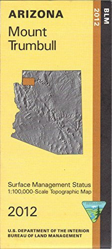
    Bureau of Land Management map includes roads, some trails, and topographic detail.
    Differentiates between public and private land, and also among the various agencies who manage the public lands. Explore Grand Canyon - Parashant National Monument, and Lake Mead National Recreation Area east of Lake Mead. Map also includes Grand Canyon National Park north and west of Hualapai Indian Reservation. Use the map for camping, hunting, fishing, hiking, horseback riding, and OHV riding. Use map for AZ Hunting Units 13A and 13B. Scale 1:100,000. 2012-05-03.

    • Product Details
      • Product Number: 41410 
      • Scale: 1:100,000 
      • Content: Surface Management; Contours
      • Alternate ID: TAZ0966 
      • ISBN: 978-1-4113-3383-3 
      • Authors: BLM 
      • Version Date: 01/01/2012 
      • Regions: AZ 
      • Countries: USA 
      • Latitude: 36° 0′ 0″ N to 36° 30′ 0″ N
      • Longitude: 114° 0′ 0″ W to 113° 0′ 0″ W
      • Media: Paper 
      • Format: Folded
    • Additional Details
      • Description: MOUNT TRUMBULL, AZ 
      • Print Date: 2012 
      • Boundary Type: Quadrangle
      • Horizontal Datum: North American 1983
      • Vertical Datum: National Geodetic 1929
      • Two-Sided: No
      • Plates: 1
      • Pieces: 1 
      • Languages: English
    • One-sided, self-cover, paper folded map
    As Seen On TV

    How do you like the new site? If you would like to provide feedback, please click here.