No Products in the Cart
USGS US Topo 7.5 - minute quadrangle map
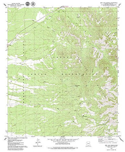
Long Name: San Juan Spring, Arizona Historical Map 7.5'x7.5' Grid 24000-Scale 1979
Scale: 1:24,000
Content: Contours
Alternate ID: TAZ1265
ISBN: 978-0-607-07141-2
Version Date: 1979
Regions: AZ
Nations: USA
Latitude: 31° 52′ 30″ N to 32° 0′ 0″ N
Longitude: 111° 45′ 0″ W to 111° 37′ 30″ W
Media: Paper
Format: Flat
Description: San Juan Spring, AZ
Survey Date: 1979
Print Date: 1979
Height In Inches: 27.000
Width In Inches: 22.000
Boundary Type: Quadrangle
Two Sided: No
Plates: 1
Pieces: 1
Languages: English
 As Seen On TV