Satellite orthoimage of Yosemite Valley, Yosemite National Park, California, Mariposa County (SuDoc I 19.106:37119-G 3-OM-024/986) - Wide World Maps & MORE! - Map - Wide World Maps & MORE! - Wide World Maps & MORE!

Satellite orthoimage of Yosemite Valley, Yosemite National Park, California, Mariposa County (SuDoc I 19.106:37119-G 3-OM-024/986) Map

SKU mc2-4
$ 15.95
    Description

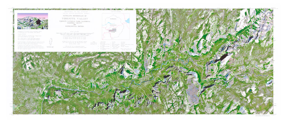
    Description: Use this United States Geological Survey map to teach and learn about the landforms and other physical features of the national park. An orthoimage is remotely sensed image data in which displacement of features in the image caused by terrain relief and sensor orientation have been mathematically removed. Orthoimagery combines the image characteristics of a photograph with the geometric qualities of a map.

    • Product Details
      • Product Number: 47258
      • Scale: 1:24,000
      • Alternate ID: TCA4109
      • ISBN: 978-0-607-83312-6
      • Version Date: 01/01/1986
      • Regions: CA
      • Countries: USA
      • Media: Paper
      • Format: Flat
    • Additional Details
      • Survey Date: 1986
      • Print Date: 1991
      • Height In Inches: 18.000
      • Length In Inches: 42.000
      • Boundary Type: Political Unit
      • Two-Sided: No
      • Pieces: 1
      • Languages: English
    As Seen On TV

    How do you like the new site? If you would like to provide feedback, please click here.