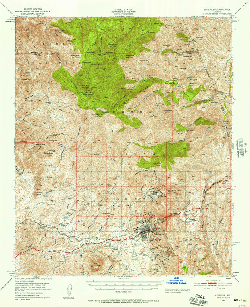
Superior, AZ 1948 USGS 15-minute topographic quadrangle map
- Product Details
- Product Number: 316412
- Scale: 1:62,500
- Content: Contours
- Version Date: 01/01/1948
- Regions: AZ
- Countries: USA
- Latitude: 33° 30' N to 33° 15' N
- Longitude: 111° 15' W to 111° 00' W
- Media: Paper
- Format: Flat
- Historical Reproduction: Yes
- Additional Details
- Description: United States Geological Survey Superior, Arizona Historical Map Reprint 15×15 Grid 62500-Scale 1948
- Survey Date: 1948
- Print Date: 1957
- Height In Inches: 20.800
- Length In Inches: 16.900
- Boundary Type: Quadrangle
- UTM Grid: Ticks
- Horizontal Datum: North American 1927
- Vertical Datum: National Geodetic 1929
- UTM: Zone 12
- Two-Sided: No
- Plates: 1
- Pieces: 1
- Languages: English
 As Seen On TV
![SUPERIOR, AZ?15' 1948 [Map] [Jan 01, 2017] United States Geological Survey - Wide World Maps & MORE! - - Wide World Maps & MORE! - Wide World Maps & MORE!](http://maps4u.com/cdn/shop/products/41lK0R0mDZL_51405dff-3cf8-450f-b52e-1f82523b3df8_1024x1024.jpg?v=1744301869)

![SUPERIOR, AZ?15' 1948 [Map] [Jan 01, 2017] United States Geological Survey - Wide World Maps & MORE! - - Wide World Maps & MORE! - Wide World Maps & MORE!](http://maps4u.com/cdn/shop/products/41lK0R0mDZL_51405dff-3cf8-450f-b52e-1f82523b3df8_medium.jpg?v=1744301869)
