No Products in the Cart
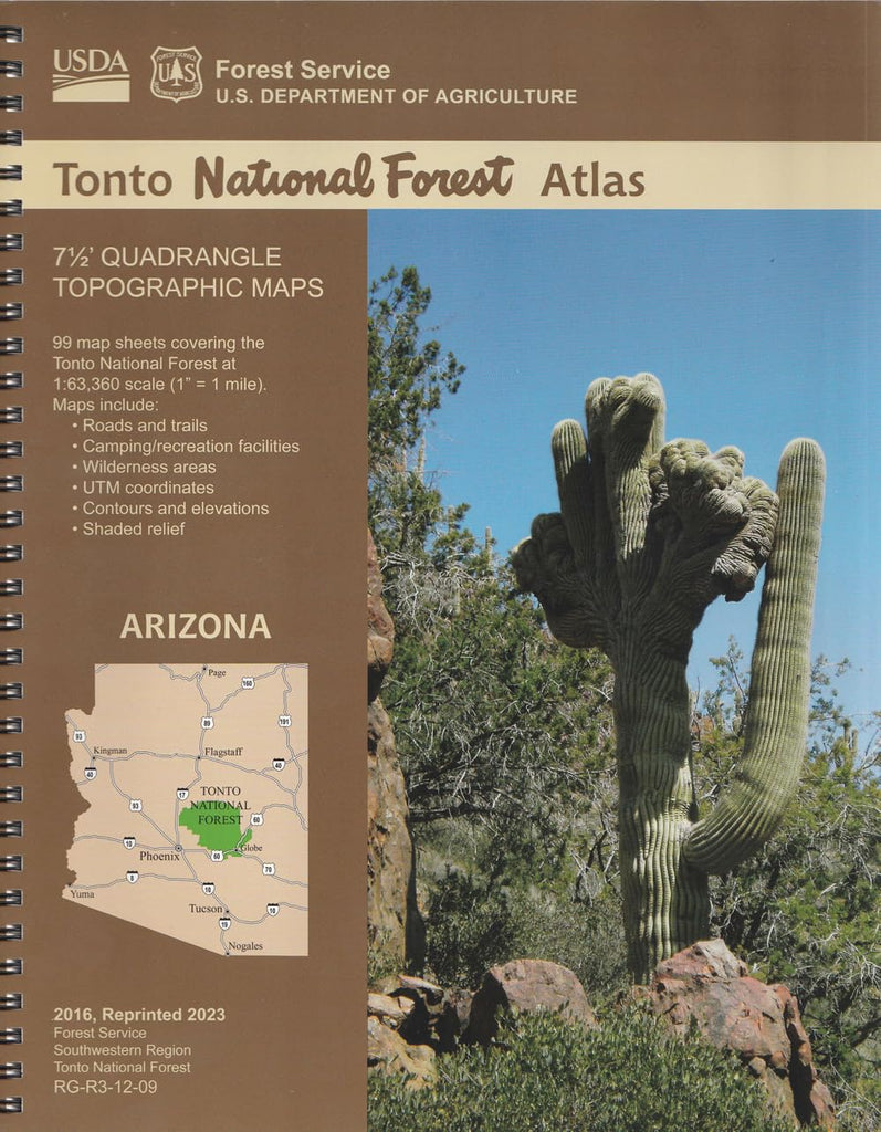
National Forest Atlases are full-color atlases, containing 8.5Ã11-inch topographic quadrangle maps at 1-inch to the mile scale. The Tonto National Forest lies in central Arizona and consists of 99 quadrangles covering 6 ranger districts: Cave Creek, Globe, Mesa, Payson, Pleasant Valley, and Tonto Basin. Tonto National Forest encompasses almost 3 million acres of rugged country, ranging from saguaro cactus-studded desert to pine-forested mountains beneath the Mogollon Rim connected by a series of scenic drives. This unique variety in vegetation and range in altitude (from 1,300 to 7,900 feet) offers outstanding recreational opportunities throughout the year.
 As Seen On TV