No Products in the Cart
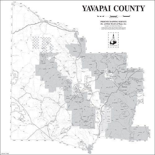
An ideal wall map to show larger areas and county-wide detail, this map includes highways, major roads, rivers, lakes, railroads, national park and forest boundaries, Native American communities, wilderness areas, and townships. As a greyscale map you can add your own colors with dry erase erase markers, sticker dots and arrows, or graphic tape for locations, areas, and zones.
Dry erase laminated paper, one-sided wall map.
Size: 36" x 36"
 As Seen On TV