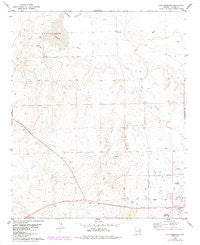
Zion Reservoir, AZ 1978 PR 1984 USGS 7.5-minute topographic quadrangle map
- Product Details
- Product Number: 42100
- Scale: 1:24,000
- Content: Contours
- Alternate ID: TAZ1660
- ISBN: 978-0-607-07435-2
- Version Date: 01/01/1984
- Regions: AZ
- Countries: USA
- Latitude: 34° 37' 30" N to 34° 30' 0" N
- Longitude: 109° 30' 0" W to 109° 22' 30" W
- Media: Paper
- Format: Flat
- Historical Reproduction: Yes
- Additional Details
- Description: United States Geological Survey Zion Reservoir, Arizona Historical Map Reprint 7.5×7.5 Grid 24000-Scale 1978 Photorevised 1984 (PR-84 formerly Wolford Springs 3 SW)
- Survey Date: 1978
- Print Date: 1984
- Height In Inches: 27.000
- Length In Inches: 22.000
- Boundary Type: Quadrangle
- UTM Grid: Ticks
- Horizontal Datum: North American 1983; North American 1927
- Vertical Datum: National Geodetic 1929
- UTM: Zone 12
- Two-Sided: No
- Plates: 1
- Pieces: 1
- Languages: English
 As Seen On TV